
Vintage 1949 Brooklyn Map.
by GiftMan
Original price
$8.99
-
Original price
$8.99
Original price
$8.99
$8.99
-
$8.99
Current price
$8.99
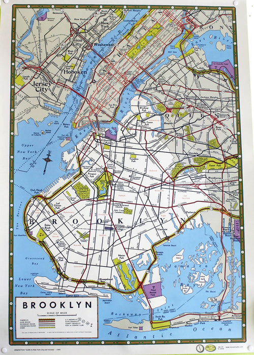
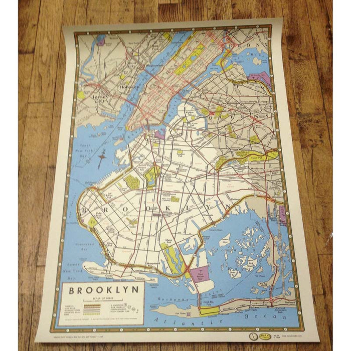
Brooklyn Map: Adapted from guide to New York City and vicinity 1949
- Printed on ivory-laid paper making.
- It is perfect for framing, gift wrap, book art, and collage.
- Poster Measures: 20in. × 28in.
--
Vintage 1949 Brooklyn Map,
Vintage style Brooklyn map poster highlights Brooklyn's neighborhoods and includes portions of the surrounding boroughs and New Jersey. Printed on ivory-laid paper making. It is perfect for framing, gift wrap, book art, and collage. Measures: 20in. × 28in.
"Brooklyn (/ˈbrʊklɨn/) is the most populous of New York City's five boroughs, with a Census-estimated 2,621,793 people in 2014.[1] It is geographically adjacent to the borough of Queens at the western end of Long Island. Since 1896, Brooklyn has had the same boundaries as Kings County, the most populous county in the State of New York and the second-most densely populated county in the United States, after New York County (Manhattan).[2] With a land area of 71 square miles (180 km2) and water area of 26 square miles (67 km2), Kings County is the fourth-smallest county in New York State by land area and third-smallest by total area, though it is the second-largest among New York City's boroughs."
Vintage 1949 Brooklyn Map: Adapted from guide to New York City and vicinity 1949
-
Printed on ivory-laid paper making.
-
It is perfect for framing, gift wrap, book art, and collage.


